Damaraland & Twyfelfontein
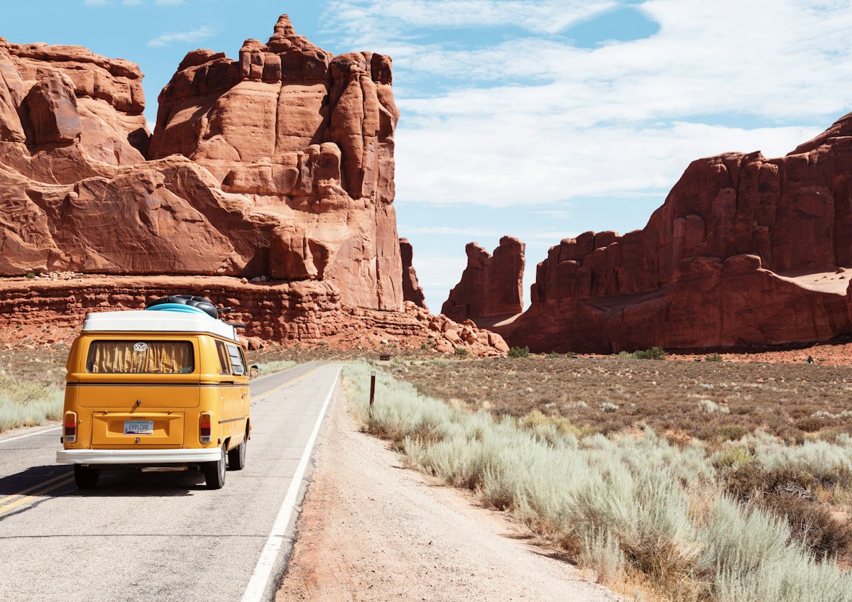
Traverse the rugged red sandstone landscapes of Damaraland in northwestern Namibia. Inscribed as a UNESCO World Heritage site, Twyfelfontein protects over 2,000 ancient San rock engravings alongside desert-adapted elephants and black rhinos.
About Damaraland & Twyfelfontein
Geological Grandeur and Semi-Arid Wilderness
Spanning the Erongo and Kunene regions of northwestern Namibia, Damaraland is a dramatic, semi-arid wilderness characterized by rugged tabletop mountains, eroded red sandstone hills, weathered granite inselbergs, and ancient volcanic lava fields. The region is bisected by several major ephemeral river valleys—including the Ugab, Huab, and Aba Huab—which flow above ground only after exceptional inland summer rainfalls, yet maintain vital underground subterranean water tables beneath dry sandy beds.
Twyfelfontein: Ancient Rock Art Gallery
The cultural centerpiece of Damaraland is Twyfelfontein (known ancestrally in Khoekhoegowab as |Ui-||aes, meaning 'jumping waterhole'). Inscribed in 2007 as Namibia's first UNESCO World Heritage site, Twyfelfontein preserves one of the largest and densest concentrations of rock engravings (petroglyphs) in Africa.
Created by hunter-gatherers over a period spanning 2,000 to 6,000 years, more than 2,100 individual engravings are carved into reddish-brown sandstone slabs. The imagery includes detailed representations of rhinos, elephants, giraffes, zebras, and ostriches, as well as human footprint tracks and ritual shamanistic therianthropes—such as the famous 'Lion Man' showing a lion with five toes and a human arm, representing spiritual trance transformation.
Desert-Adapted Elephants and Black Rhinos
Damaraland is one of only two places in Africa where desert-adapted elephants (Loxodonta africana) and critically endangered southwestern black rhinos (Diceros bicornis occidentalis) survive in harsh hyper-arid conditions outside fenced national parks:
- Desert Elephants: These remarkable pachyderms possess wider footpads for walking on sand, longer legs, and smaller body mass than savanna elephants. They migrate hundreds of kilometres along dry riverbeds, excavating sand with their trunks to access clean subterranean water holes.
- Desert Black Rhinos: Tracked on foot in partnership with community-based conservation organizations such as Save the Rhino Trust (SRT) and local communal conservancies, these rhinos feed on drought-resistant Euphorbia damarana shrubs.
Geological Wonders: Organ Pipes and Burnt Mountain
Near Twyfelfontein lie other geological landmarks. The Organ Pipes feature a dramatic vertical ravine of angular dolerite columns formed 120 million years ago by volcanic basalt intrusion. Nearby, the Burnt Mountain presents blackened, jagged shale ridges baked by ancient volcanic magma, contrasting sharply against red desert sands. Further west, the Petrified Forest preserves 280-million-year-old fossilized tree trunks washed down ancient glacial rivers.
Seasons, Access and Travel Logistics
Damaraland is accessible year-round. The dry winter months from May to September offer comfortable daytime temperatures (25°C to 28°C) and cold nights, making tracking pleasant. Summer months (November to April) bring daytime temperatures exceeding 35°C and occasional sudden flash floods in ephemeral riverbeds.
Access from Swakopmund takes approximately four to five hours via Uis and the Brandberg mountain (Namibia's highest peak at 2,573 metres). A robust 4x4 vehicle with high clearance is strongly recommended for traversing rocky gravel passes and sandy riverbeds.
Frequently Asked Questions
How are desert-adapted elephants different from standard savanna elephants?
Desert-adapted elephants belong to the same species as savanna elephants, but have adapted physiologically and behaviorally to arid habitats: they travel further between water sources, survive on limited moisture, and refrain from felling large trees to preserve shade.
Are guided tours mandatory at the Twyfelfontein rock art site?
Yes. All visitors must be accompanied by an accredited local community guide to protect ancient sandstone engravings from physical erosion and vandalism.
Can desert black rhino tracking be conducted on foot?
Yes. Specialized lodges working with Save the Rhino Trust offer guided tracking on foot accompanied by licensed trackers and armed community rangers.
🦍 Wildlife & Nature
🎯 Top Experiences
🧳 Travel Tips & Practical Advice
Namibia Beyond the Dunes: From Sossusvlei to Etosha
Namibia rewards travelers who embrace distance. Journey from the red dunes of Sossusvlei to the Atlantic coast, ancient rock art and the wildlife gathering around Etosha’s waterholes.
🗺️ Damaraland & Twyfelfontein Experiences
No tours are currently listed. Request a custom journey with a verified local operator.
✨ Request a Custom Journey with a Local Operator →📍 Nearby Destinations in Namibia
ℹ️ Practical Info
Explore Damaraland & Twyfelfontein
Custom journeys crafted directly by verified in-country specialists.
Request Custom Journey →